| 2004 Presidential Election
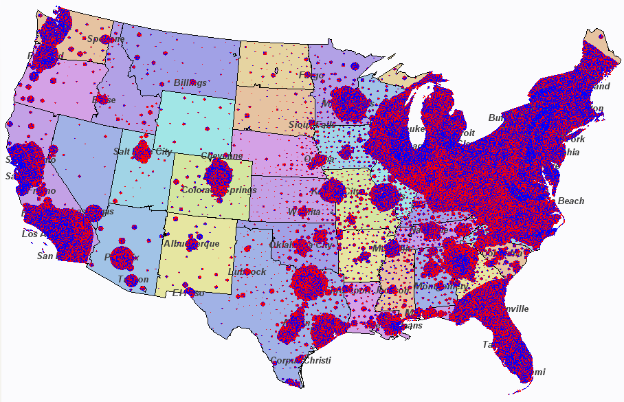
Results In this map, each red, green, or blue pixel represents 1,000 votes for Bush, Nader, or Kerry respectively. When there are too many votes to fit in an area, they "spill over" to nearby land. For example, Florida's votes "spill over" into Georgia. This means that votes are not necessarily exactly where they belong, but they will be in the right general area and no block of votes will "hide" any other block. |
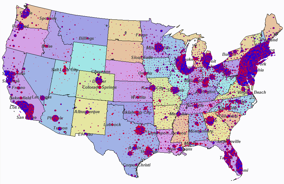
| On this next map, each pixel represents 2,500 votes. This leads to votes beings closer to where they belong, but there is less detail. For example, blocks of Nader votes are harder to find. It also becomes quite difficult to see sparsely populated counties in the plains. |
Election data from USA TODAY. Map data from NOAA.
Other interesting election maps:
http://www.princeton.edu/~rvdb/JAVA/election2004/
http://geomblog.blogspot.com/2004/11/purple-haze-revisited.html
http://www-personal.umich.edu/~mejn/election/